What we do
Rural Affairs Wales encourages and promotes rural development through the sharing of information, news, ideas and good practice.
We work with, and for, anyone who lives, works or is interested in Rural Wales.
In Focus
Find support for your land based business in Wales
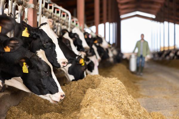
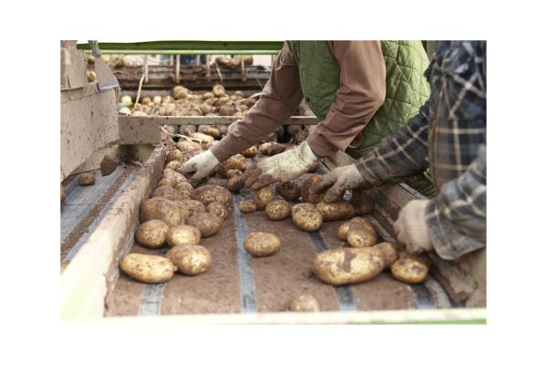
The Farming Connect programme supports the development of a more professional, profitable and resilient land based sector. It comprises an integrated programme of knowledge transfer, innovation and advisory services designed to deliver greater sustainability, improved competitiveness, and improved environmental performance.
Sustainable Farming Scheme
Keep up to date with the latest news regarding the sustainable farming scheme. Sustainable Farming Scheme: proposed scheme outline (2024) Carbon Sequestration Evidence Review Panel Written Statement: Sustainable Farming Scheme: Keeping farmers farming – response to consultation Sustainable Farming