Welsh National Marine Plan
About the Welsh National Marine Plan (WNMP)
Our seas are an incredible natural asset and an intrinsic part of our history, economy and way of life. The WNMP was adopted in November 2019. It sets out a long-term vision for the sustainable development of our seas.
The Marine and Coastal Access Act (MCAA) provides a statutory basis for the plan-led regime to manage coastal waters in the United Kingdom. All four UK administrations of the UK Marine Policy Statement (MPS) adopted the marine planning regime in March 2011. The MPS provides high-level policy context for developing Marine Plans:
- it sets out a framework for:
- preparing Marine Plans
- taking decisions affecting the marine environment
- it contains the shared UK vision of having ‘clean, healthy, safe, productive and biologically diverse oceans and seas’
- it will ensure appropriate consistency in marine planning across the UK marine area
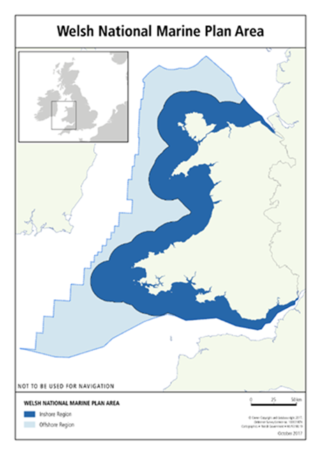
The Marine Plan area
The marine plan area around Wales is 32,000 km2 of sea, with 2,120 km of coastline. The management of activities in Welsh waters is split between:
- devolved functions (with Welsh Ministers as the marine plan authority), and
- retained functions (with the UK Government as authority)
Relevant documents
Marine and Costal Access Act 2009 - Marine and Coastal Access Act 2009 (legislation.gov.uk)
Marine Policy Statement - UK marine policy statement - GOV.UK (www.gov.uk)
Welsh National Marine Plan https://www.gov.wales/welsh-national-marine-plan
Welsh National Marine Plan: overview Welsh National Marine Plan: overview | GOV.WALES
Animation explaining the marine planning process Marine Planning in Wales - YouTube
Overview of Maring Planning in Wales webinar 1. Overview of Marine Planning in Wales and the Welsh National Marine Plan - YouTube