Multi Site Project
Grass is an essential crop for livestock production systems, but around half of the grass grown in Wales is not used efficiently. Farm business efficiency, and therefore income, could be greatly improved through more tailored inputs of resources such as fertiliser. However, optimising these inputs requires the development of better forecasts of grass yield and growth to increase precision in application. Therefore, enhancing the ability to predict grass yield is a key management strategy for livestock-grassland systems in Wales, which could improve the ability of Welsh farm businesses to forecast resources and potential business outputs for the coming year, improving business efficiency.
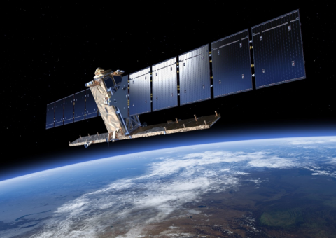
Current approaches for measuring grass yield are time consuming, labour intensive, and not always accurate. Typically, these rely on in-field measurements with a plate meter to take direct readings and calculate growth. Recent advances in Earth observation, in particular the availability of frequent optical and radar satellite data, have been identified as a potential source of information to assess and monitor grass growth. Using remote sensing approaches, such as satellite data, could enhance current grassland management approaches by offering a method which is rapid, requires only minimal labour input, and which could offer continuous insight into plant growth throughout the season.
Using grass growth data capture during the pasture project, Farming Connect has been exploring the potential for this technology to benefit farmers in Wales, by establishing a calibration or predictive model, which can interpret the data produced through remote-sensed satellite technology and apply it to farms in Wales. It is hoped that the resultant model can then be made available to farmers in Wales to enhance the potential for effective grassland management.
Early results of this initiative are promising. Not all the farm data captured by the Pasture Project has correlated well with the data captured by the satellites, however, the challenge of marrying the two data sets has itself proved informative. Grassland management varies considerably across farming systems and landscape topographies. So far, the results suggest that sheep grazing systems, particularly extensive systems, are the most compatible with the data captured, but this requires further analysis to determine for certain. Should this prove to be the case, then this presents a real opportunity to increase precision management within Welsh agriculture, as the extensive grassland management system has the greatest difficulty in adopting precision techniques, purely due to the challenge of assessing large, extensive-system landscapes with current labour-intensive approaches. In such a scenario, satellite data captured passively and continuously, could inform farm and grassland management with only minimal intervention from the farmer.
Next Steps:
The next stages of this project are, therefore, to test if this is, in fact, the case. To achieve this, a test-farm will be identified and a trial established to attempt to use the satellite-derived data to inform grassland management. From this trial, it is hoped that the challenges and opportunities presented by this approach can be quantified and used to improve the system. If successful, a model can then be published and made available to the farmers of Wales, which could facilitate precision grassland management using this new technology.

